In the second episode of MWI’s new Urban Warfare Project podcast, John Spencer is joined by Col. Rich Creed, the director of the Army’s Combined Arms Doctrine Directorate at Fort Leavenworth, Kansas. A graduate of the School of Advanced Military Studies, he has commanded Army organizations at company, battalion, and brigade levels. There are few people, therefore, better equipped to take part in a deep conversation about Army doctrine and the process by which it takes shape. The conversation also examines the scope of existing doctrine that specifically centers on the urban battlefield.
Listen to the full episode below, and be sure to subscribe to the Urban Warfare Project podcast on Apple Podcasts, Stitcher, or your favorite podcast app so you don’t miss an episode!
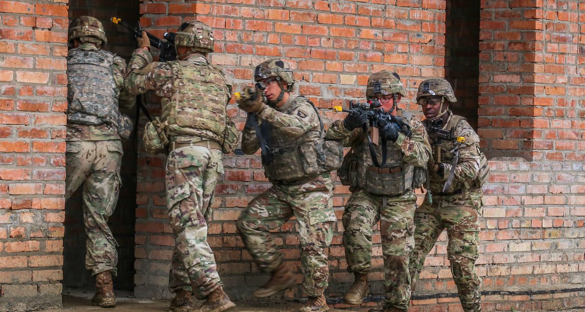
Image credit: 1st Lt. Lynn Chui, US Army


I found the podcast extremely interesting. I have a somewhat technical question, having served as an AH-64 pilot during three deployments to OIF and operating in the Baghdad AOI, I found that there was a lack of aviation TTPs or methods to aid deployment in an urban environment. Training at the NTC or JRTC was helpful but obviously the environment available for training doesn't represent a major urban area. Attack helicopter employment to support ground units in the urban environment of Baghdad was a challenge and each event had it's own sequence of events that either aided or hindered effective employment of aviation assets. Since I have been retired from active duty since 2011 this particular need may have been addressed, but the pessimist in me thinks that it probably hasn't been. There is a real challenge regarding ways to identify buildings and relay the ground commanders intent and scheme of maneuver to supporting aircrews. I would suggest developing standard naming conventions for buildings or defining ways to identify features in a standard manner to aid in this. Maybe it's already in the publications you mentioned, but we (at least I) never trained it in my 24 years of service. I am willing to assist in any way possible, if you feel that may be of use. If the question is already being addressed, I apologize…continue the good work!
I am surprised that there were no simulators, Virtual Reality goggles, or computer games based on GPS, GoogleMaps, satellite photos, or Streetview to aid in gunship piloting in certain areas of conflict to map out the urban landscape.
With computer programmers in proliferation nowadays, piloting AH-64 sims could be as simple as holding joysticks in hands while standing and wearing VR goggles and issuing voice commands to the gunner standing behind you.
That essentially is Base improvement infrastructure and training….which I read funds get shifted out of to finance other higher priority programs such as Readiness.
CW4 McClinton,
In addition to ATP 3-06, 3-06.11, check out the multiservice ALSA ATP 3-06.1, Aviation Urban Operations on ALSA's website or on APD. Also, in addition to ATP 2-01.3 (IPB), which has a good section on UO, check out TC 2-91.4 (Intel Spt. to UO). This describes some ways of developing the COP for planning and execution (i.e. via GRGs, etc.), but we don't want to be too prescriptive in doctrine to give units flexibility via SOP that works best for them.The 2016 version of the AUO manual is under revision and should be out in the next year or so. (https://armypubs.army.mil/ProductMaps/PubForm/Details.aspx?PUB_ID=1001873)
v/r
Maj Lippold
CADD, MCCoE